Built. Running. Real.
Not a mockup.
Live on your phone right now. Pick a place, pick a day — the answer leads, the sun-path-over-terrain chart proves it, and a tap saves the shoot.
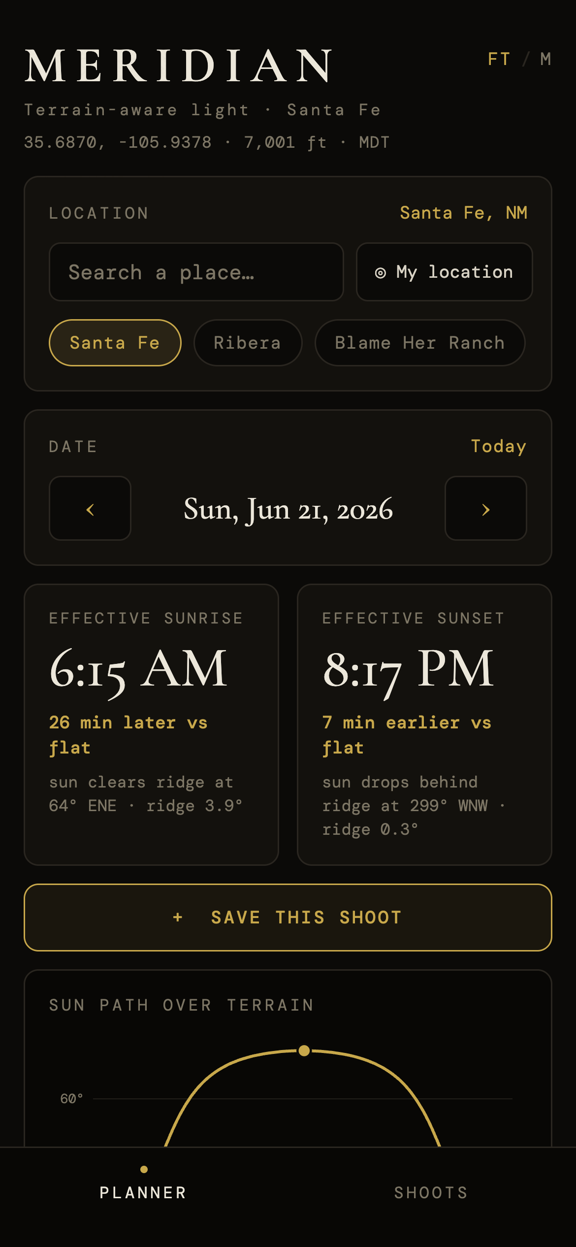
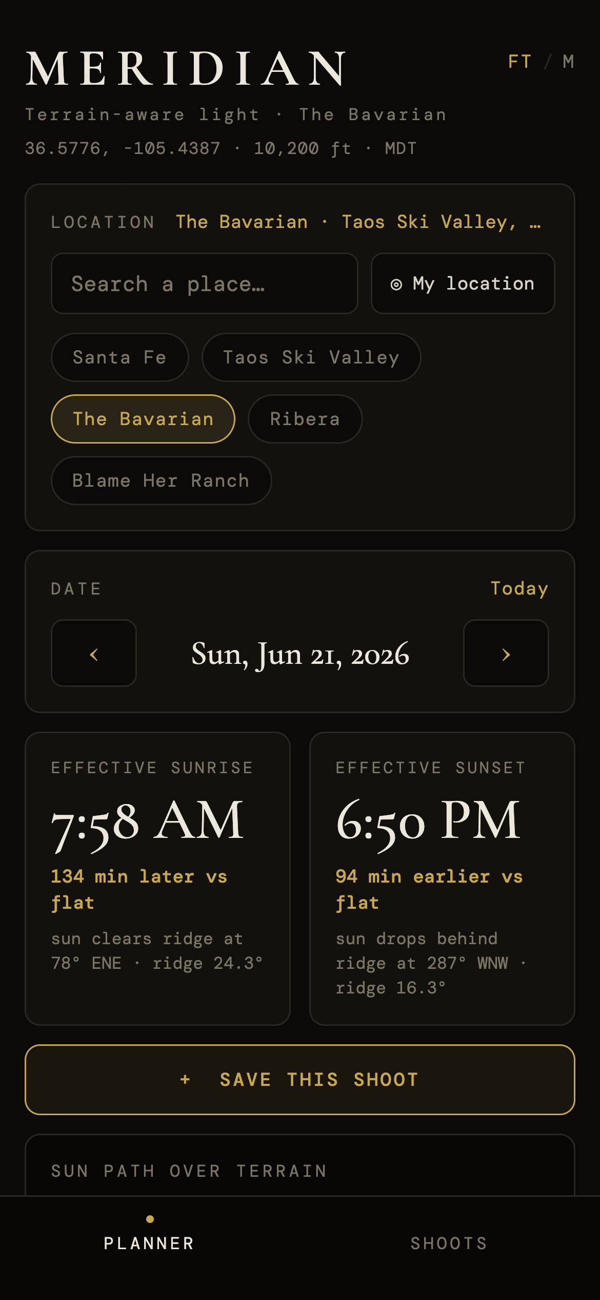
The real minute the good light arrives — and leaves.
scroll ↓“Sunset 8:18.” That’s the flat-horizon time — the sun dropping past a perfectly level sea horizon that doesn’t exist where you shoot.
There’s a mesa, a ridge, a canyon wall in the way. The light is gone minutes earlier — behind the terrain in front of you. Miss it and you miss the shot.
It pulls the real elevation around any spot on earth, traces the sun’s path against that terrain, and gives you the effective sunrise and sunset — the moment the sun truly clears or drops behind the land.
Live on your phone right now. Pick a place, pick a day — the answer leads, the sun-path-over-terrain chart proves it, and a tap saves the shoot.
Meridian is live. Scan to open the real app — or take this pitch with you.


Effective sunrise/sunset, the sun-path-over-terrain chart, a draggable timeline, and the full phase ledger — for anywhere on earth.
Save a shoot to its terrain-aware light window, with a “leave by” time, and send the call sheet to Gmail, Apple Mail, or your calendar.
A native build adds offline maps, one-tap calendar, user-placed treelines & barns the elevation data can’t see, and notifications before the light turns.